Log in
All resources
Create a design
34,293 Free Images of 1755 Mitchell Map
maps
engraving
grabados
fondo antiguo
cartography
cartografía
chalcography
calcografía
cartografía, mapas | cartography, maps
libros del siglo xvii
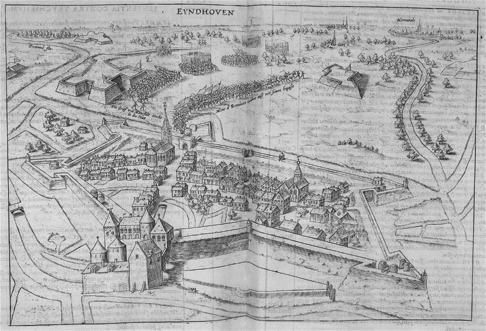
maps
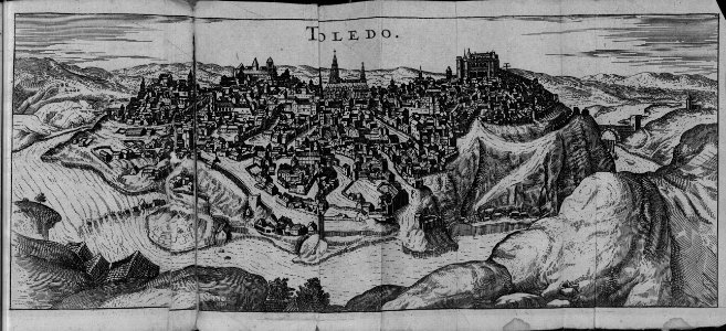
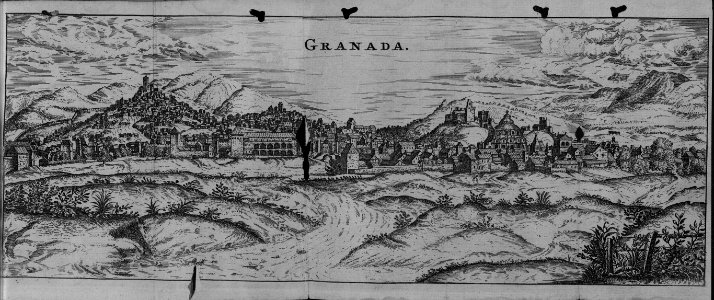
city
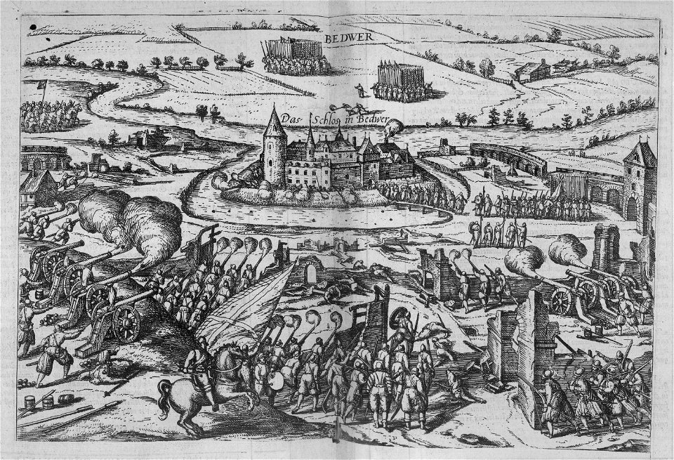
maps
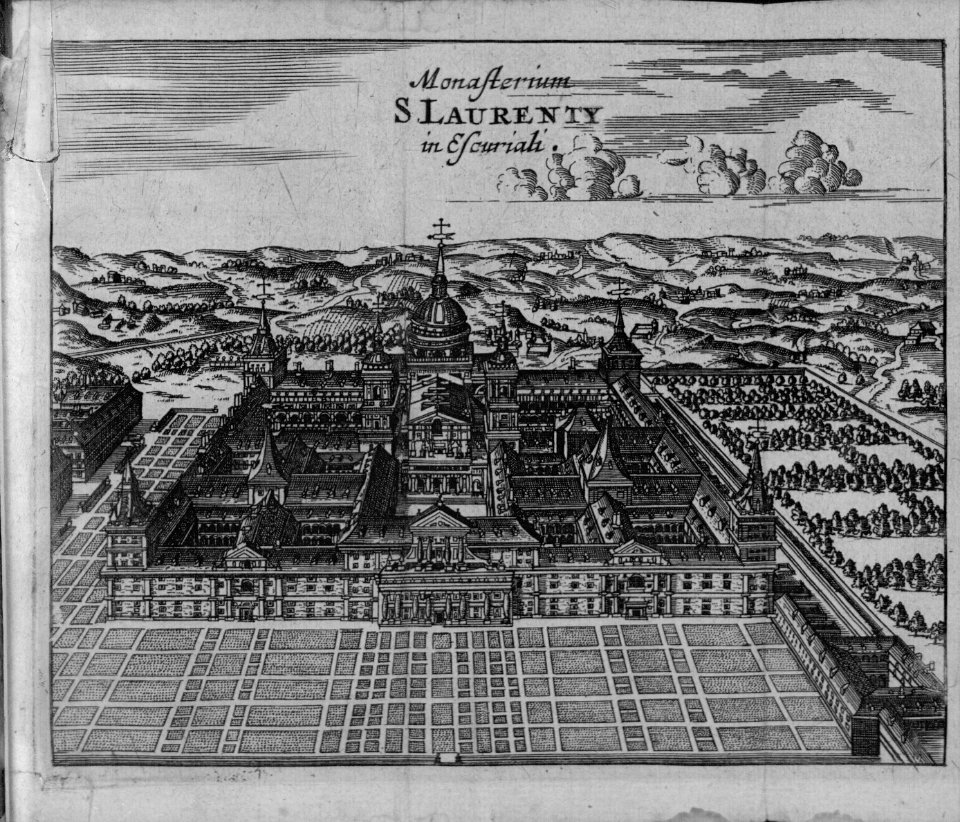
city
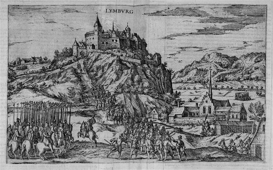
maps
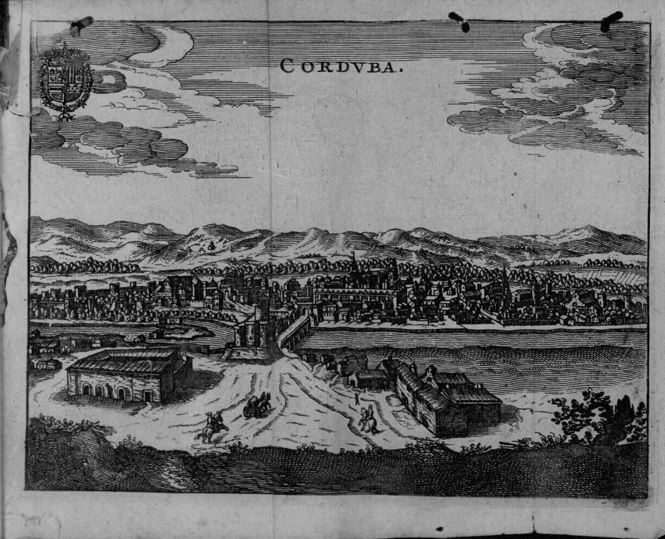
city
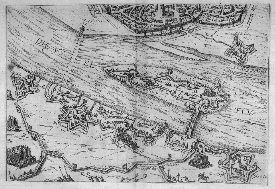
maps
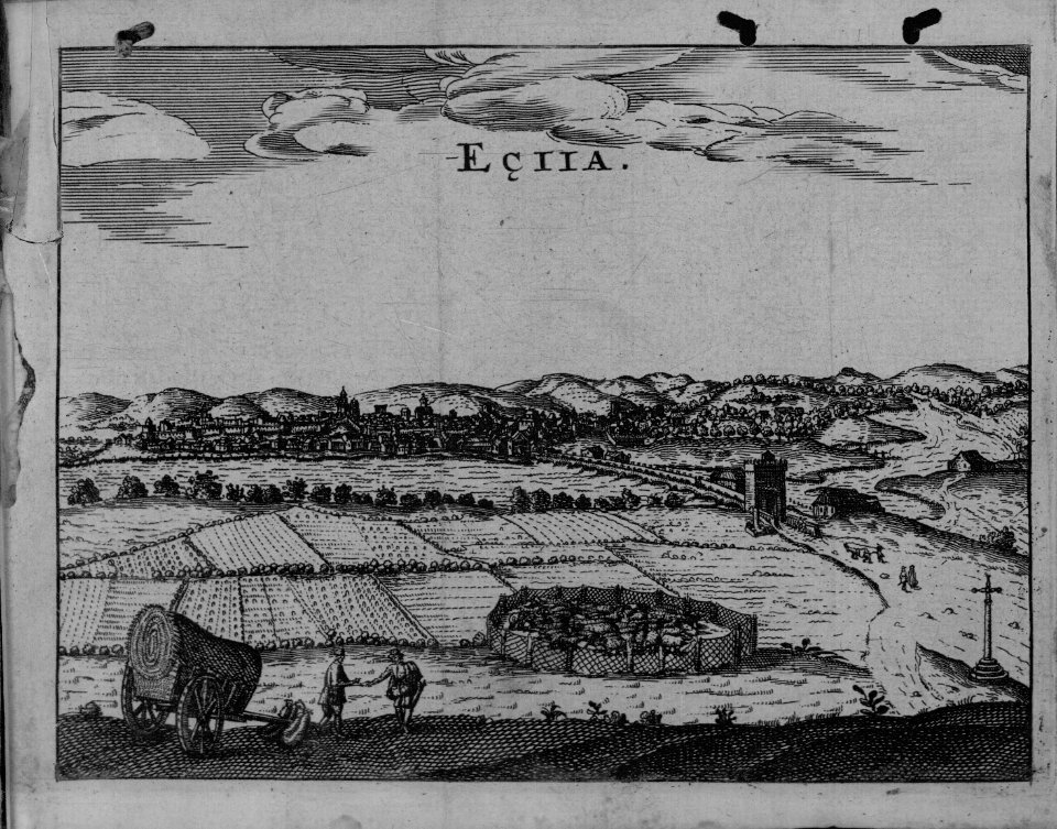
city
maps
city
maps
city
brazilian paintings in the museu antônio parreiras
antônio rafael pinto bandeira
new zealand
australia
new zealand
australia
new zealand
australia
new zealand
australia
new zealand
australia
new zealand
australia
brazil
maps
turgot map of paris, kyoto university library – derivative files
collège du plessis
paintings by antônio parreiras in the museu antônio parreiras
paintings of nude females by antônio parreiras
cartography
maps
cartography
maps
cartography
maps
cartography
maps
cartography
maps
cartography
maps
cartography
maps
cartography
maps
cartography
maps
cartography
maps
cartography
maps
cartography
maps
cartography
maps
cartography
maps
cartography
maps
cartography
maps
cartography
maps
cartography
maps
science
geology
cartography
maps
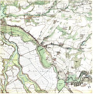
maps
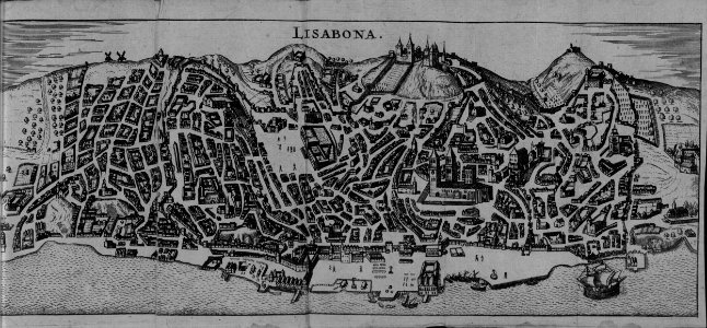
city
maps
city
turgot map of paris, kyoto university library – derivative files
palais du louvre on old maps
paintings by antônio parreiras in the museu antônio parreiras
paintings of nude females by antônio parreiras
a map of the provinces of new york and new jersey, with a part of pennsylvania and the province of quebec
lawrence h. slaughter collection of english maps, charts, globes, books and atlases
a map of the provinces of new york and new jersey, with a part of pennsylvania and the province of quebec
lawrence h. slaughter collection of english maps, charts, globes, books and atlases
a map of the provinces of new york and new jersey, with a part of pennsylvania and the province of quebec
lawrence h. slaughter collection of english maps, charts, globes, books and atlases
paintings by antônio parreiras in the museu antônio parreiras
portrait paintings by antônio parreiras
new zealand
australia
historical images of parvis notre-dame - place jean-paul ii
turgot map of paris – derivative files
plan de paris levé par les ordres du roy, 1900
proletarian literature
mammals
france
backs of postcards in curt teich postcard archives
postcards of oklahoma city
backs of postcards in curt teich postcard archives
postcards of oklahoma city
historical images of boulevard des capucines
rue basse-du-rempart (paris)
maps
city
a map of the provinces of new york and new jersey, with a part of pennsylvania and the province of quebec
lawrence h. slaughter collection of english maps, charts, globes, books and atlases
illustration
art
cartography
maps
cartography
maps
cartography
maps
cartography
maps
cartography
maps
paintings by antônio parreiras in the museu antônio parreiras
paintings of animals by antônio parreiras
paintings by antônio parreiras in the museu antônio parreiras
paintings of seascapes by antônio parreiras
backs of postcards in curt teich postcard archives
postcards of oklahoma county, oklahoma
backs of postcards in curt teich postcard archives
postcards of elk city, oklahoma
maps in the rijksmuseum amsterdam
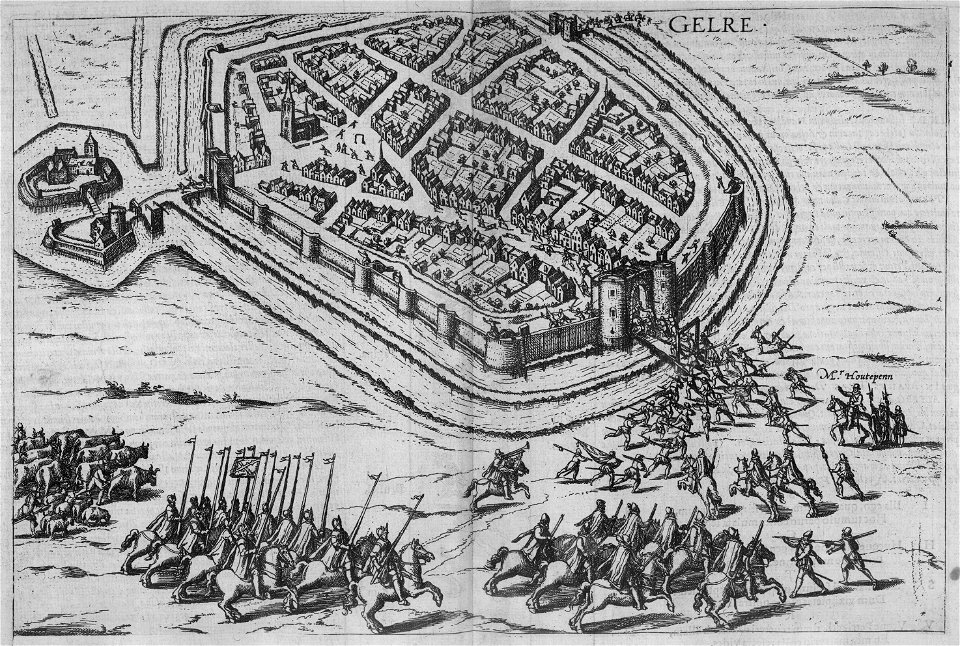
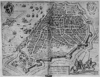
joris hoefnagel - map of antwerp
cartography
maps
cartography
maps
cartography
maps
cartography
maps
cartography
maps
cartography
maps
cartography
maps
cartography
maps
cartography
maps
tunisia
maps
new zealand
australia
new zealand
australia
james monroe in art
clyde osmer deland
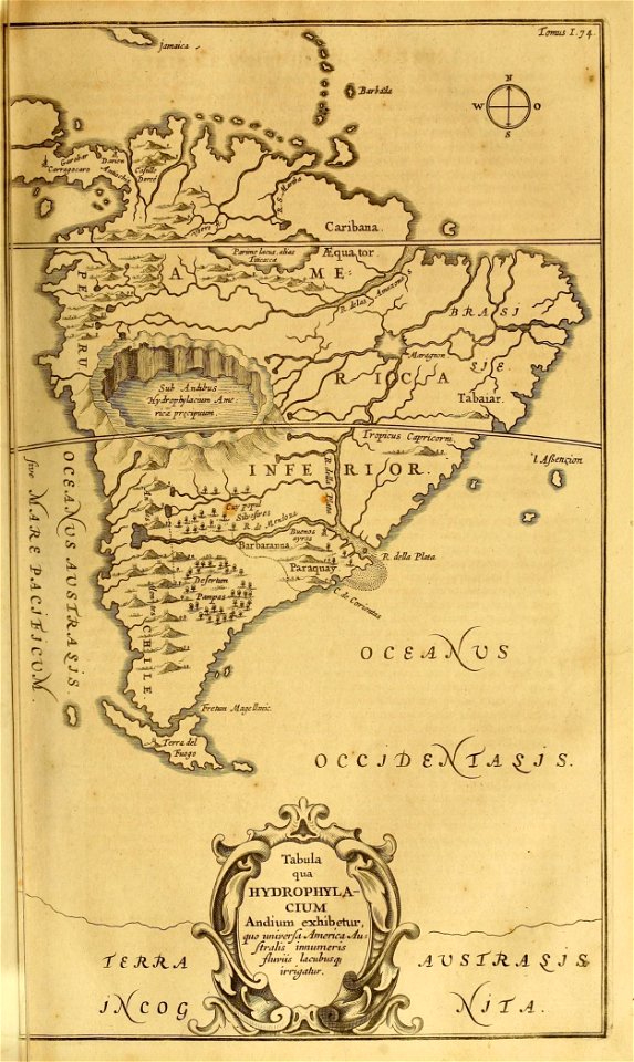
19th-century maps of tibet
1850s maps of china
cartography
maps
cartography
maps
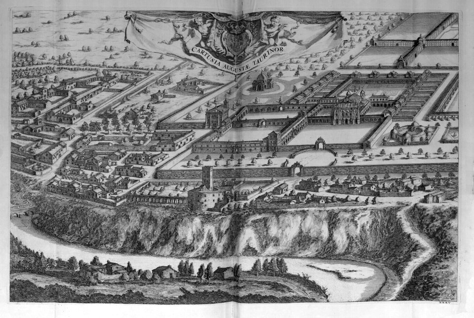
map of rome by giovanni battista falda (1676)
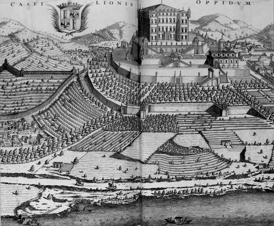
casino fini
joris hoefnagel - map of antwerp
prints by theodoor van thulden
maps in the rijksmuseum amsterdam
dutch baroque architecture
turgot map of paris – derivative files
louis bretez
new zealand
australia
new zealand
australia
new zealand
australia
maps
moon
cartography
maps
swords
maps
bird's-eye views of paris
1860 in paris
glinde
bill
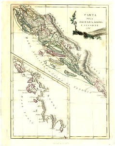
maps with cartouches
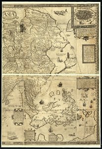
old maps of asia
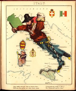
old maps of italy
pictorial maps
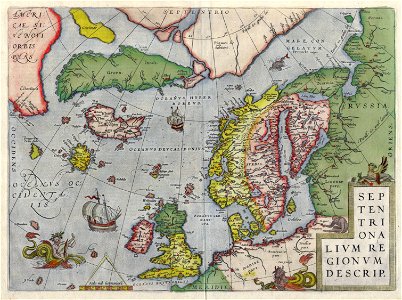
old maps of greenland
old maps of iceland
old maps of croatia
old maps of greece
english-language maps
old maps of prussia
an accurate map of england and wales , drawn from all the particular surveys hitherto publish'd. illustrated with many additional improvements, and regulated by numerous astronomical observations made by... - btv1b53181614s
maps by thomas kitchin
an accurate map of england and wales , drawn from all the particular surveys hitherto publish'd. illustrated with many additional improvements, and regulated by numerous astronomical observations made by... - btv1b53181614s
maps by thomas kitchin
old maps of jordan
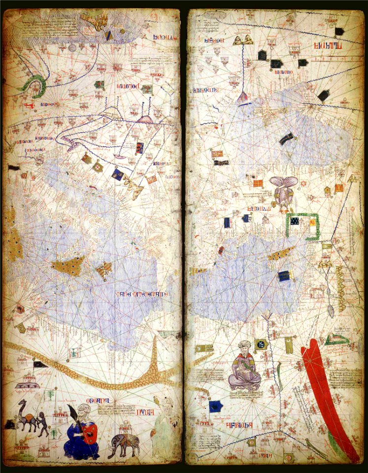
catalan atlas
4301 - 4400 of 34,293
Next page
/ 343